Open PDF and Software Resources of Earth-sciences, Remote Sensing and Geographic Information System.
Monday, 27 May 2019
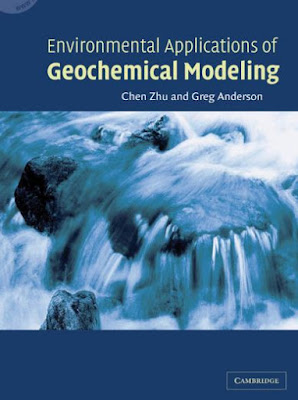
Environmental Applications of Geochemical Modeling
CONTENTS
Preface xiii
1 Introduction 1
1.1 Environmental Problems and the Need for Geochemical Modeling 1
1.1.1 High-Level Radioactive Waste Disposal 1
1.1.2 Mining Related Environmental Issues 4
1.1.3 Landfills 8
1.1.4 Deep Well Injection of Hazardous Wastes 8
1.1.5 Artificial Recharge to Aquifers 9
1.2 The Regulatory Framework 11
1.2.1 CERCLA or Superfund 11
Sunday, 26 May 2019
Groundwater Hydrology Conceptual and Computational Models
1 Introduction 1
1.1 Groundwater Investigations – a Detective Story 1
1.2 Conceptual Models 2
1.3 Computational Models 2
1.4 Case Studies 3
1.5 The Contents of this Book 3
1.6 Units, Notation, Journals 5
Part I: Basic Principles 7
2 Background to Groundwater Flow 9
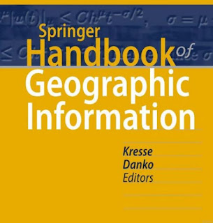
Handbook of Geographic Information
Contents
List of Abbreviations ................................................................................. XXI
Part A Basics and Computer Science
1 Modeling of Geographic Information
Charles Roswell........................................................................................ 3
1.1 Background .................................................................................. 3
1.2 Unified Modeling Language ........................................................... 5
1.3 The General Feature Model ............................................................ 11
1.4 Application Schema Example ......................................................... 15
1.5 Conclusion .................................................................................... 17
References .............................................................................................. 17
Thursday, 23 May 2019
Interfacing Geostatistics and GIS
Wednesday, 22 May 2019
GIS Applications for Water, Wastewater, and Stormwater Systems
Tuesday, 21 May 2019
Hydrologic Remote Sensing
Sunday, 19 May 2019
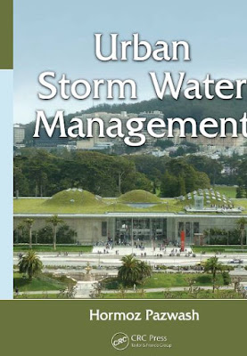
Urban Storm Water Management
Geochemical Anomaly and Mineral Prospectivity Mapping in GIS
Thursday, 16 May 2019
Land Remote Sensing and Global Environmental Change
Monday, 13 May 2019
CLASSIFICATION METHODS FOR REMOTELY SENSED DATA
Sunday, 12 May 2019
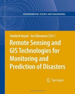
REMOTE SENSING AND GIS TECHNOLOGIES FOR MONITORING AND PREDICTION OF DISASTERS
Part 1: Use of Geo-Information technology in large disasters .................9
1. Geoinformation-Based Response to the 27 May Indonesia Earthquake – an Initial Assessment.................................................11
Norman Kerle and Barandi Widartono
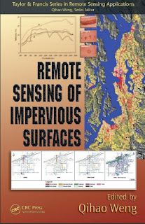
Remote Sensing of Impervious Surfaces
Contents
Editor........................................................................................................ ix
Contributors ............................................................................................ xi
Remote Sensing of Impervious Surfaces: An Overview................... xv
Qihao Weng
Thursday, 9 May 2019
Image Fusion Theories, Techniques and Applications
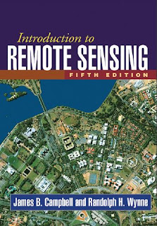
Introduction to Remote Sensing Fifth Edition
Part I. Foundations
1. History and Scope of Remote Sensing ...........................................................3
1.1. Introduction .................................................................................................3
Wednesday, 8 May 2019
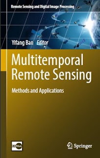
Multi temporal Remote Sensing Methods and Applications
Contents
1 Multitemporal Remote Sensing: Current Status, Trends and Challenges . . . . . . . . . . . . . . . 1
Yifang Ban
Field Methods in Remote Sensing
Monday, 6 May 2019
Remote Sensing of Land Use and Land Cover-Principles and Applications
Contents
Series Preface....................................................................................................................................ix
Preface..............................................................................................................................................xi
Acknowledgments.......................................................................................................................... xiii
Editor...............................................................................................................................................xv
Contributors...................................................................................................................................xvii
Sunday, 5 May 2019
Geographic Information Systems in Water Resources Engineering
Preface
Geographic information systems (GIS) are strongly impacting the fields of water resources engineering, environmental science, and related disciplines. GIS tools for spatial data management and analysis are now considered state of the art, and application of these tools can lead to improved analyses and designs. Familiarity with this burgeoning technology may be a prerequisite for success in our efforts to create reliable infrastructure and sustain our environment.
GIS is rapidly changing the ways that engineering planning, design, and management of water resources are conducted. Advances in data-collection technologies—using microprocessor-based data-collection platforms and remote sensing—provide new ways of characterizing the water environment and our built facilities. Spatial databases containing attribute data and imagery over time provide reliable and standardized archival and retrieval functions, and they allow sharing of data across the Internet. GIS analysis functions and linked mathematical models provide extensive capabilities to examine alternative plans and designs.
Map-oriented visualizations in color, three-dimensional, and animation formats help communicate complex information to a wide range of participants and interest groups. Moreover, interactive GIS database and modeling capabilities permit stakeholders to participate in modeling activities to support decision making. GIS is an all encompassing set of concepts and tools that provides a medium for integrating all phases of water resources engineering planning and design
This book provides relevant background on GIS that is useful in understanding its advanced applications in water resources engineering. The book has been developed with two primary sections. For the first part of the book (Chapters 1–4), the emphasis is on developing an understanding of the nature of GIS, recognizing how a GIS is used to develop and analyze geographic data, differentiating between the various types of geographic data and GISs, and summarizing data development and database concepts. Primary field-data collection and methods of interpretation and analysis are also introduced.
The second part of the book (Chapters 5–12) focuses on the various subdomains of water resources engineering, the data involved, linkage of GIS data with water resource analysis models, and management applications. Applications include watershed hydrologic and groundwater modeling, water and wastewater demand forecasting, pipe network modeling, nonpoint sources of water pollution, floodplain delineation, facilities management, water resources monitoring and forecasting, and river-basin management decision-support systems. The applications include descriptions of GIS database development, analysis background theory, and model integration with the GIS
The chapter titles in the book are as follows:
1. Introduction
2. Introduction to Geographic Information Systems
3. GIS Data and Databases 4. GIS Analysis Functions and Operations
5. GIS for Surface-Water Hydrology
6. GIS for Groundwater Hydrology
7. GIS for Water-Supply and Irrigation Systems
8. GIS for Wastewater and Stormwater Systems
9. GIS for Floodplain Management
10. GIS for Water Quality
11. GIS for Water Resources Monitoring and Forecasting
12. GIS for River Basin Planning and Management
At the end of each chapter there is a list of references related to the specific topic covered in that chapter. The GIS literature is large and growing rapidly, and relevant works are found in a diversity of sources. Some are found in refereed journals of civil engineering, water resources, and planning. Other works are found in government agency publications, academic programs, and on Web sites for both. Although the collected references and Web links are considered a valuable resource, I make no claim that it is comprehensive. For many readers, the references listed will be sufficient; for others wishing to go farther, they will serve only as a beginning.
Download Link
Geostatistics for Environmental and Geotechnical Applications
Thursday, 2 May 2019
QGIS and Applications in Water and Risks
Contents
Introduction . . . . . . . . . . . . . . . . . . . . . . . . . . . . . . . . . . . . . . . xi
Chapter 1. Monitoring Coastal Bathymetry Using Multispectral Satellite Images at High Spatial Resolution . . . . . . . 1
Bertrand LUBAC
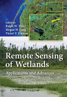
Remote Sensing of Wetlands Applications and Advances
Contents Preface...............................................................................................................................................ix Editors...............................................................................................................................................xi Contributors................................................................................................................................... xiii Acronyms.......................................................................................................................................xvii
Section I Introduction to the Use of Remote Sensing for Wetland Mapping
Chapter 1 Wetlands: An Overview ...............................................................................................3
Ralph W. Tiner
Chapter 2 Classification of Wetland Types for Mapping and Large-Scale Inventories.............. 19 Ralph W. Tiner
Chapter 3 Introduction to Wetland Mapping and Its Challenges ............................................... 43 Ralph W. Tiner
Chapter 4 Early Applications of Remote Sensing for Mapping Wetlands.................................. 67 Ralph W. Tiner
