
Monday, 11 February 2019

Sunday, 10 February 2019
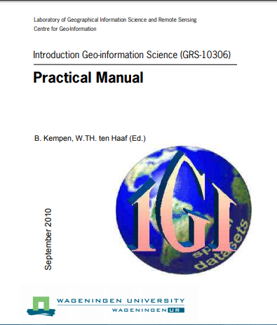
Introduction Geo-Information Science- practical manual
Introduction Geo-Information Science- practical manual .The practical manual contains eleven modules. After this introduction there are ten modules dealing with basic GIS topics using the software package ArcGIS
 |
| Introduction Geo-Information Science-Practical Manual |
and one module dealing with Remote Sensing topics using the software package Erdas Imagine. Each module is divided into sections that treat different aspects of one topic. Each section contains some background information followed by software instructions and one or more exercises to practice the theory and to test whether you understood the subject. By the end of this practical you will be able to use GIS and Remote Sensing software as tools to help you work on a practical case study. Although some theoretical background is given in each module, this manual is not meant to be a lecture textbook, so for explanations about GIS-concepts we refer to the lectures (PowerPoint presentations are available on the course website) and the lecture book and reader (see below). The practical must be regarded as an extension of the lectures in which GIS and Remote Sensing theory is clarified by means of exercises using the software packages ArcGIS and Erdas Imagine.
Download link
Tuesday, 5 February 2019
Subscribe to:
Posts (Atom)
Subscribe


 Posts
All Comments
Posts
All Comments