Georsgis Blog

↑ Grab this Headline Animator

Sunday, 15 December 2019

Thermal Infrared Remote Sensing


Foreword
Temperature is one of the most important physical environmental variables monitored by Earth observing remote sensing systems. Be it land surface temperature, sea surface temperature, or air temperature, temperature ranges define the boundaries of habitats on our planet. Already thousands of years ago, temperature defined where we humans can settle and survive. Which plant resources are available? What wildlife is present? Which crops can be grown? 


Wednesday, 11 December 2019

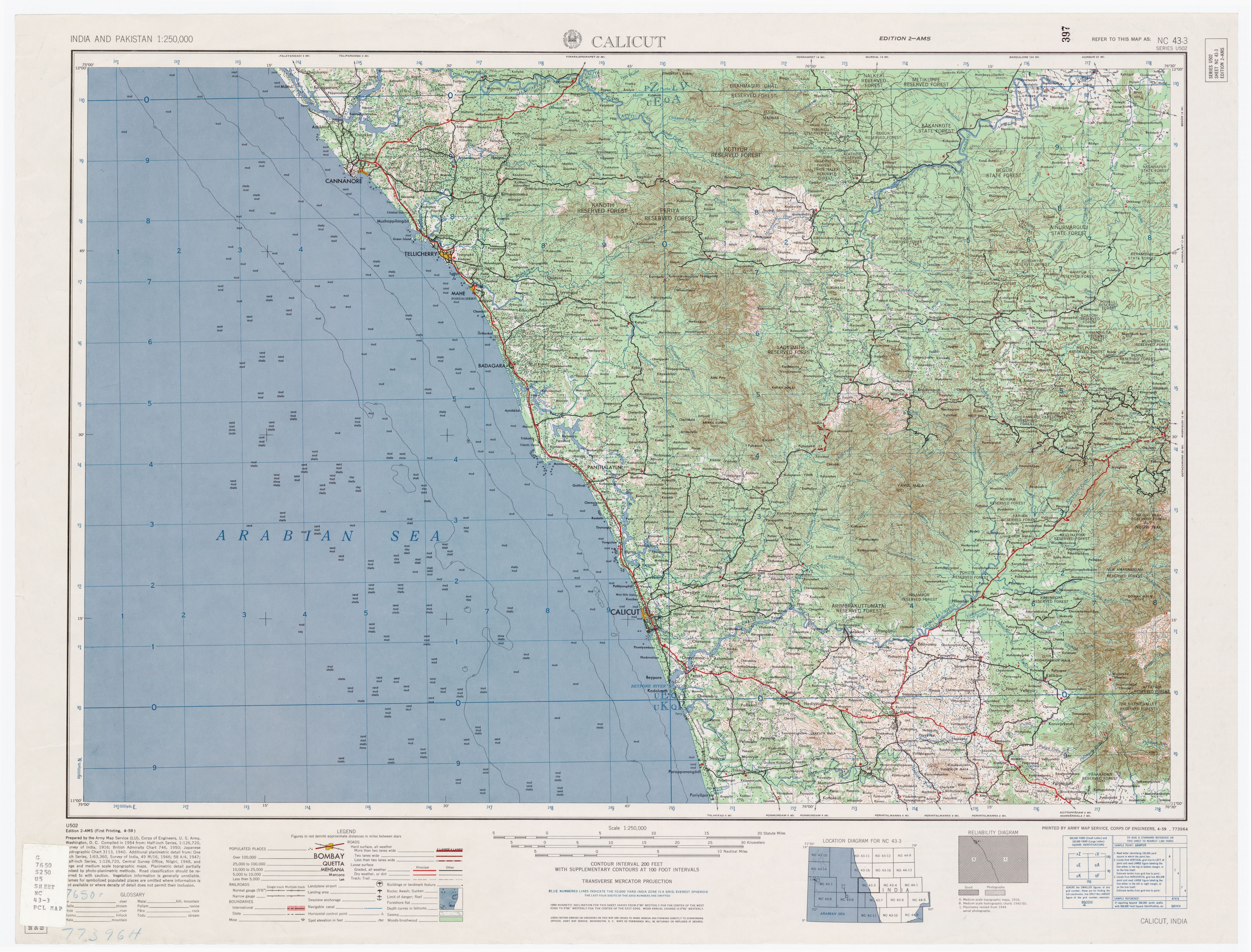
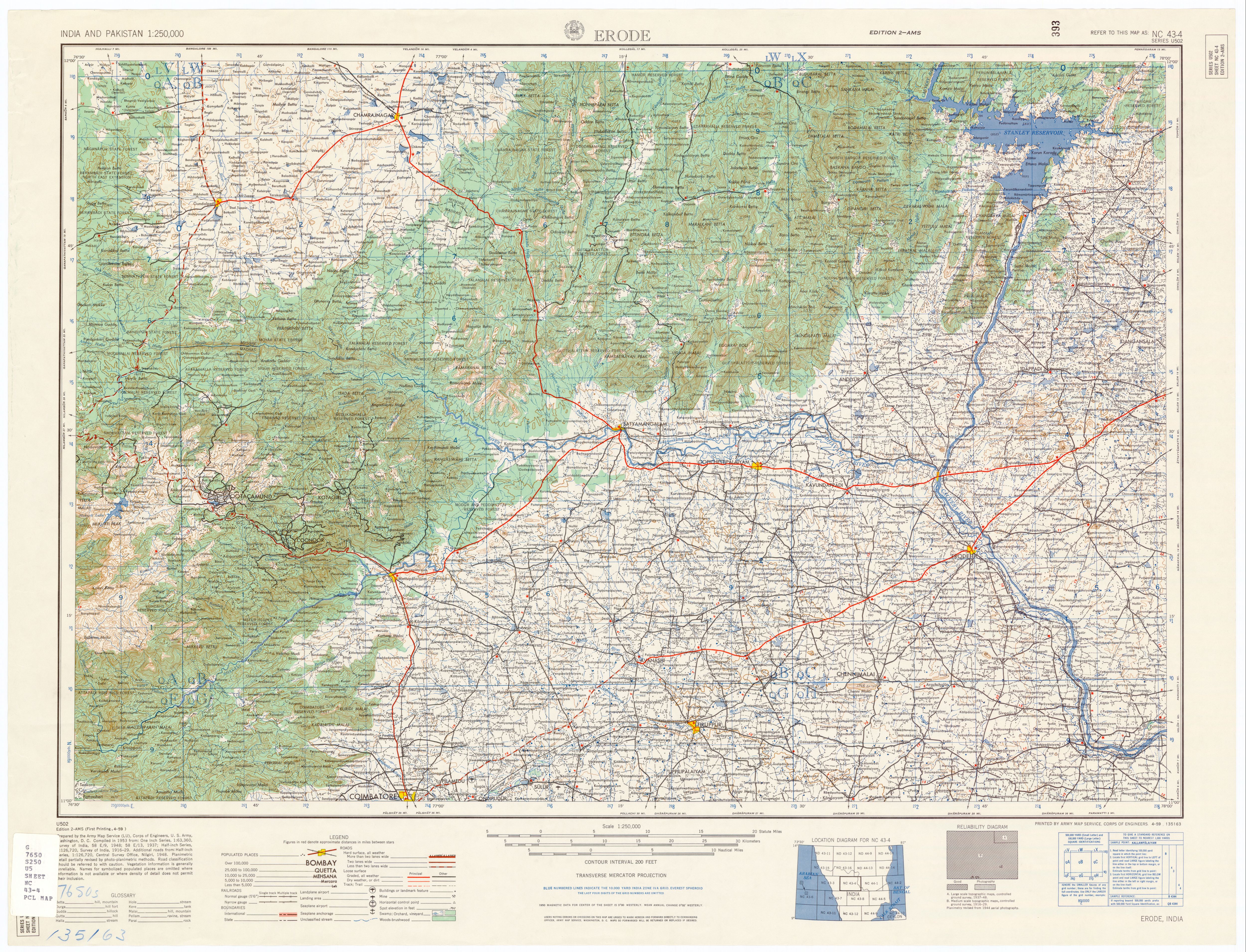
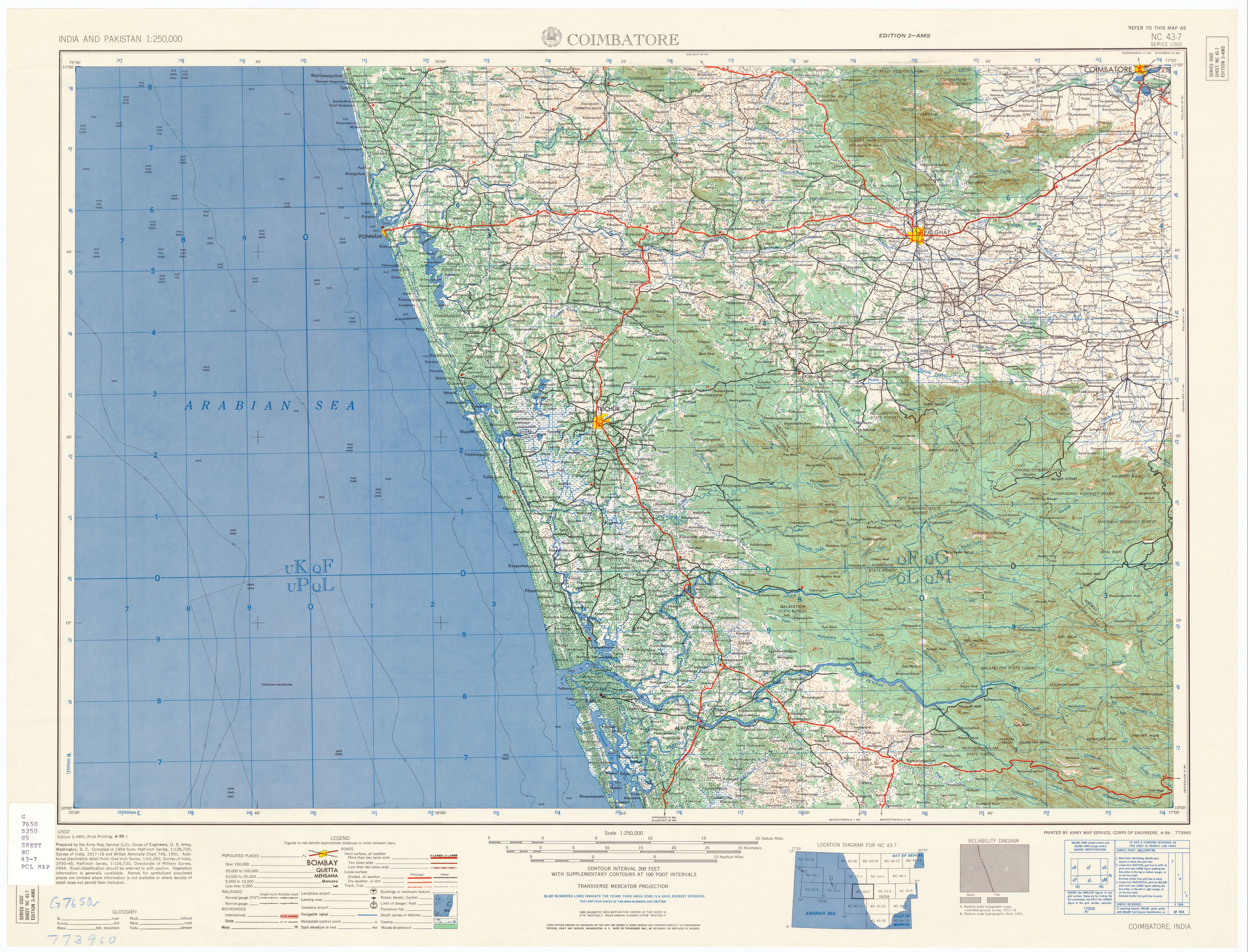
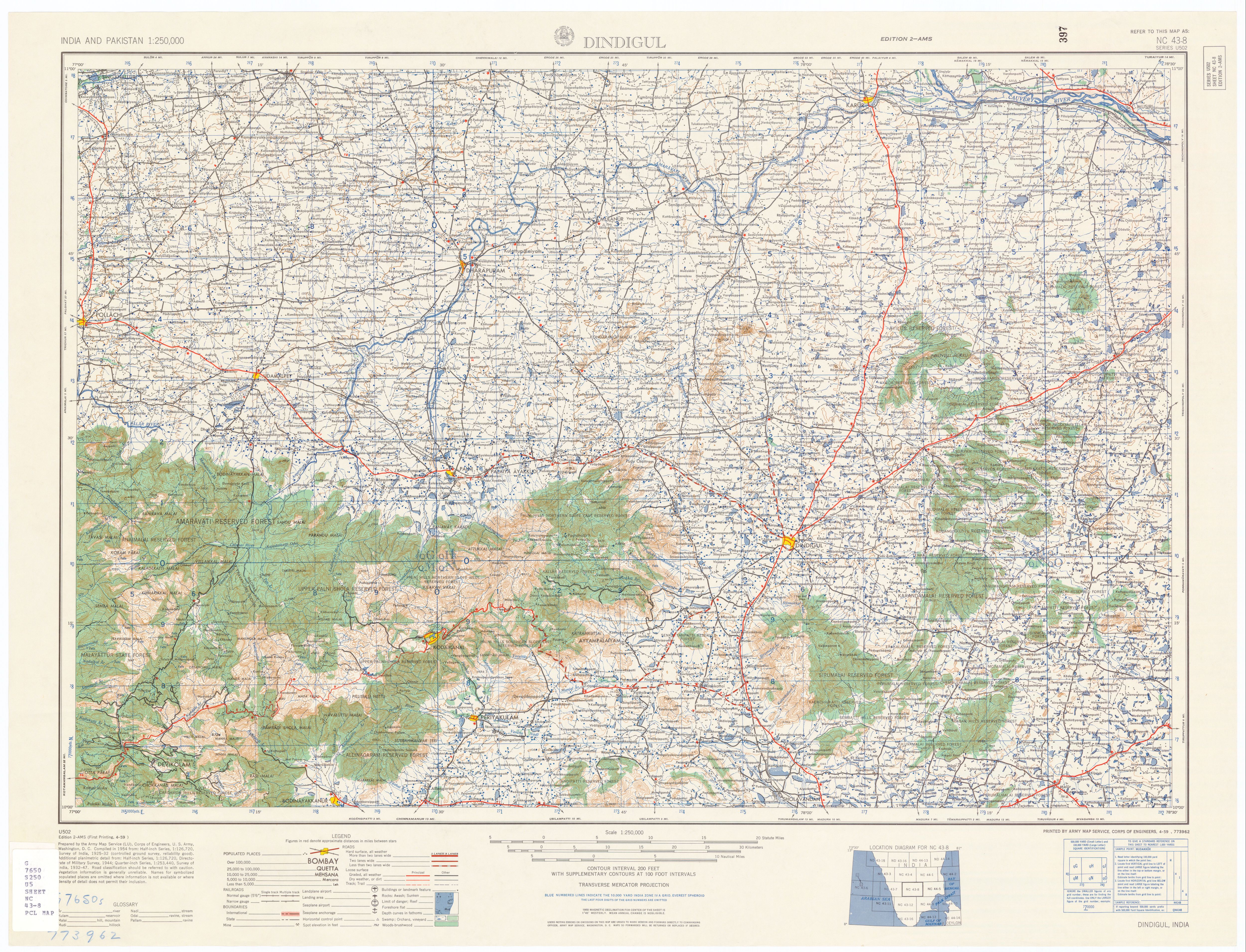
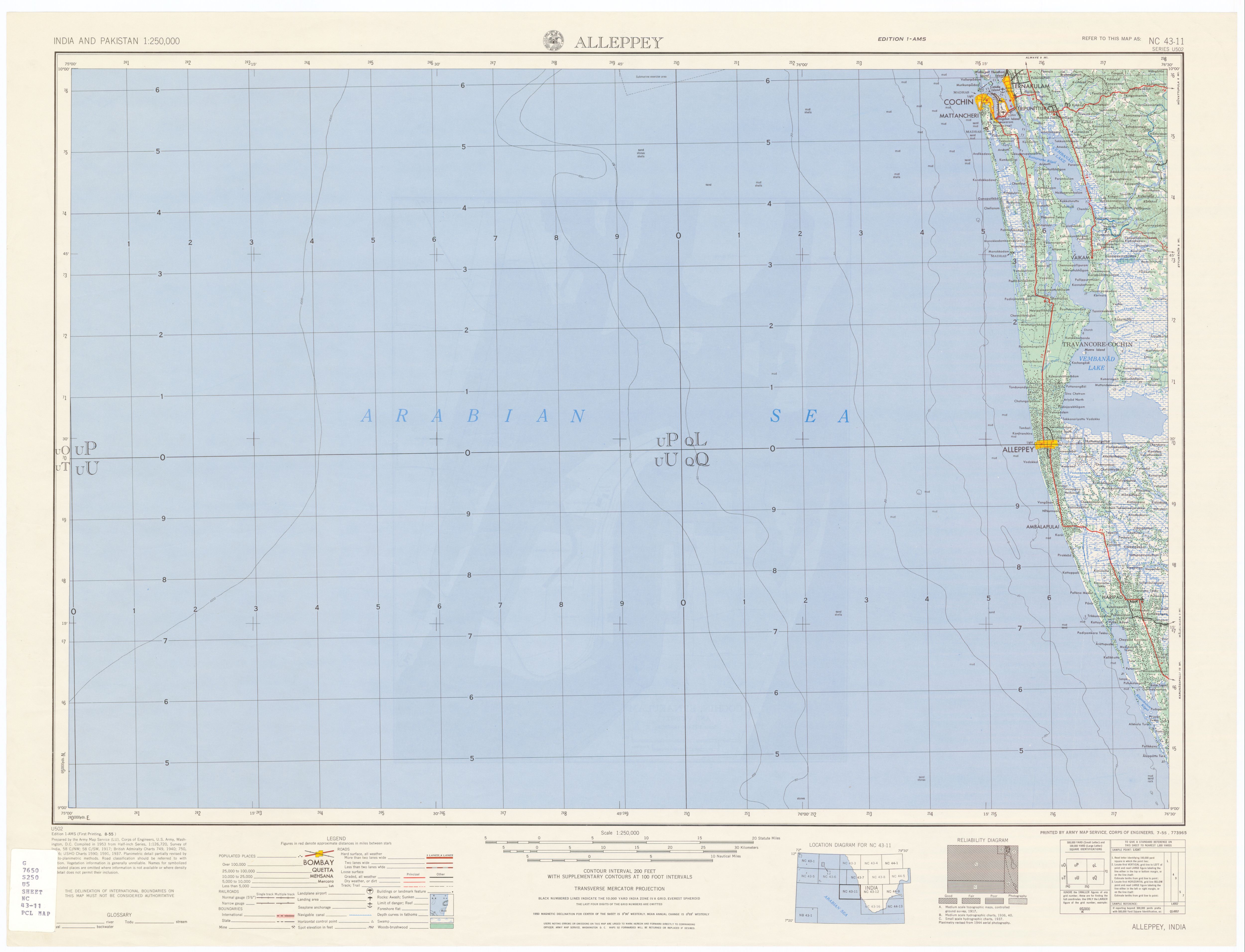
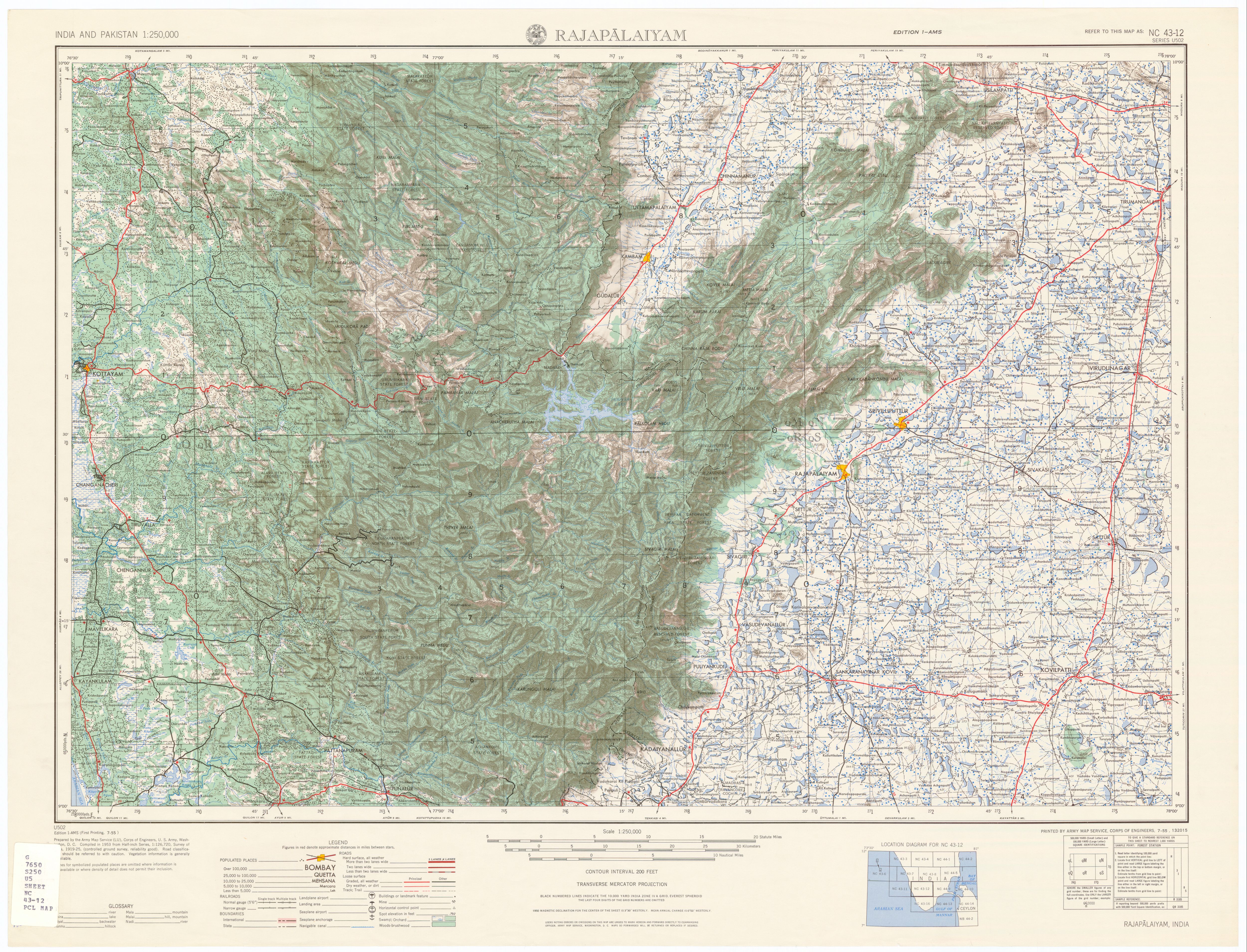
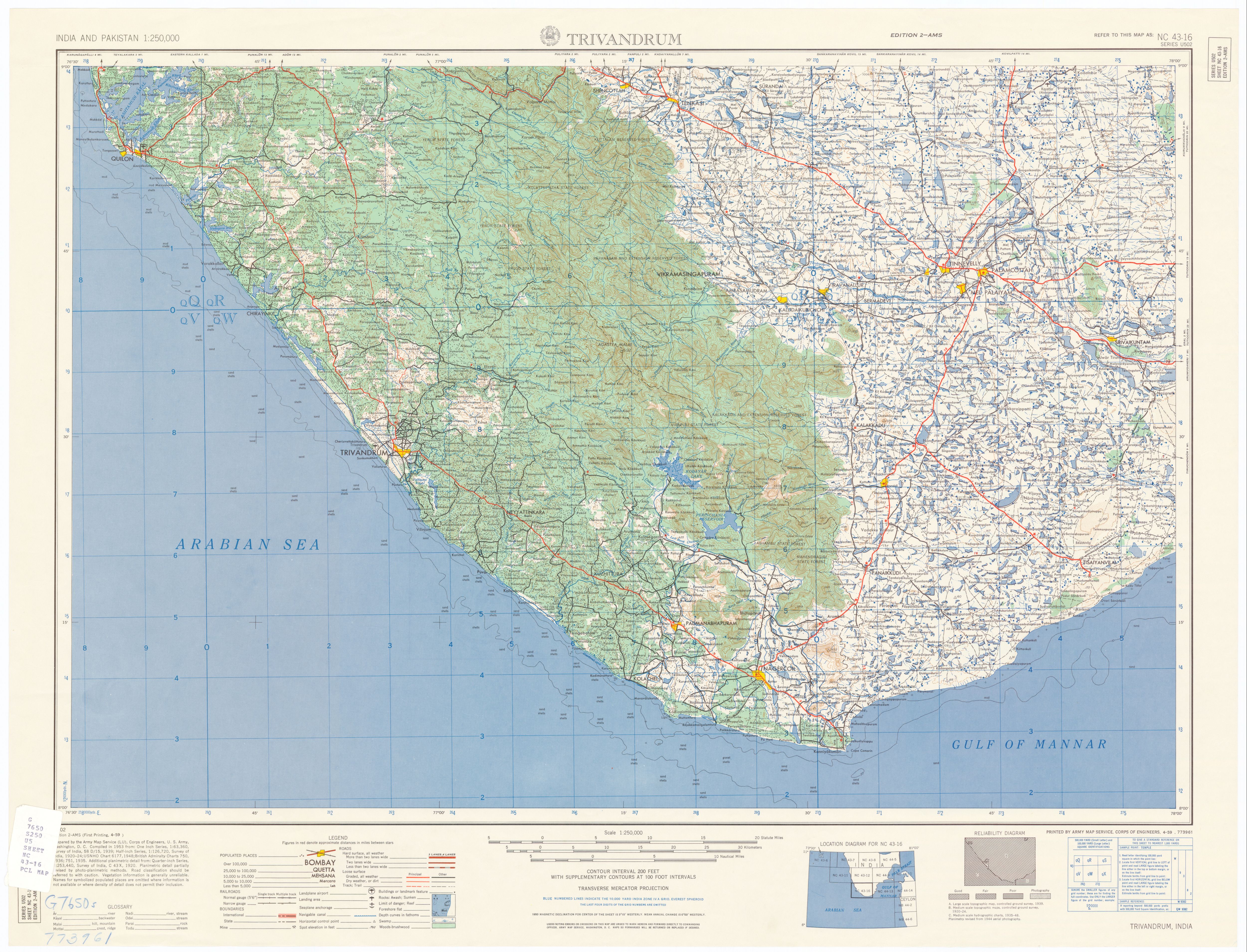
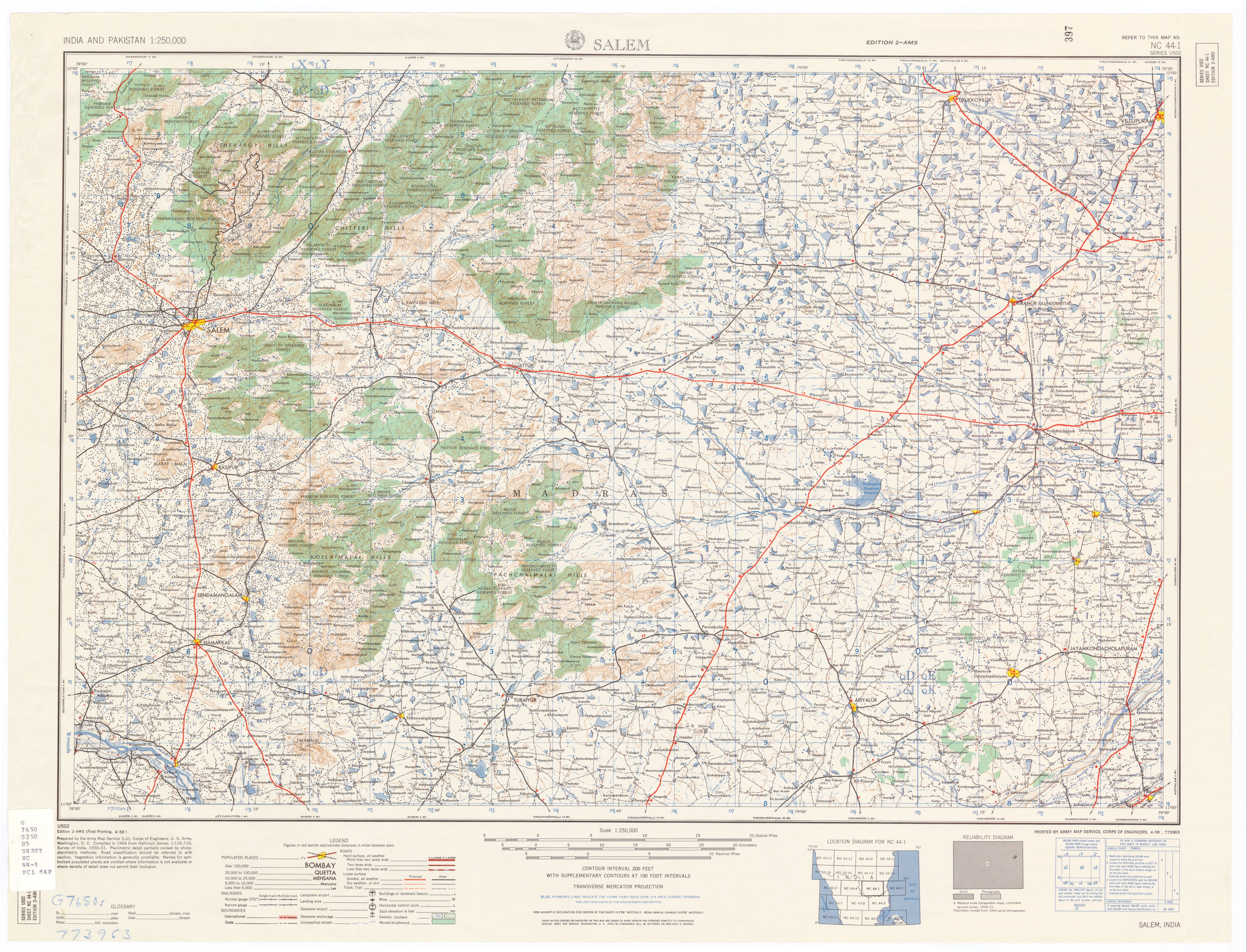
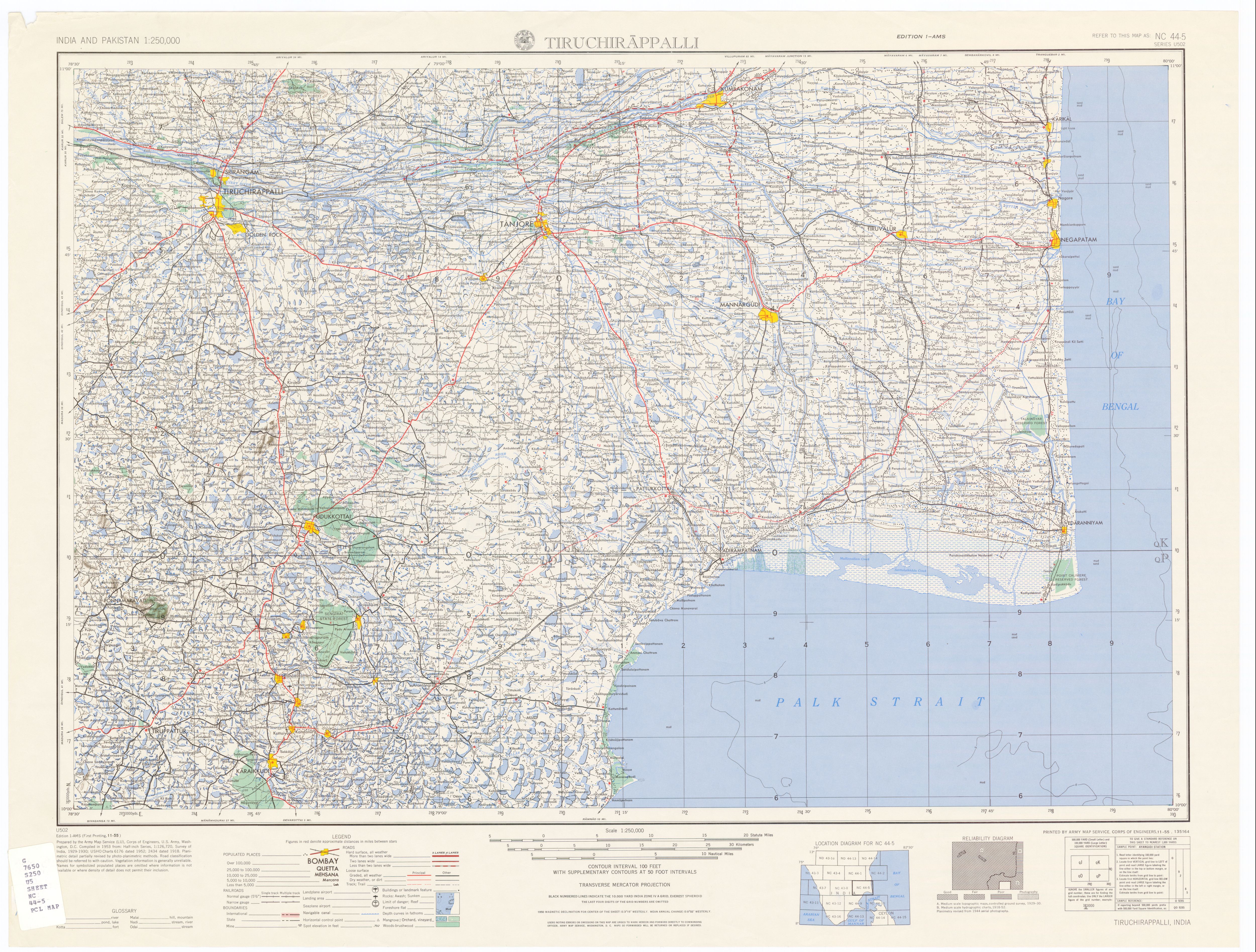
250000 Scale US Military Topo sheet of Indian Subcontinent


Index Map-2,50000 Scale US Military Topo sheet of Indian Subcontinent

Thursday, 28 November 2019

Groundwater Hydrology Engineering, Planning and Management


Preface: The demand for freshwater is increasing as the world’s population continues to grow and expects higher standards of living.

Contact us

Name

Email *

Message *

Follow us on Facebook and YouTube