
 |
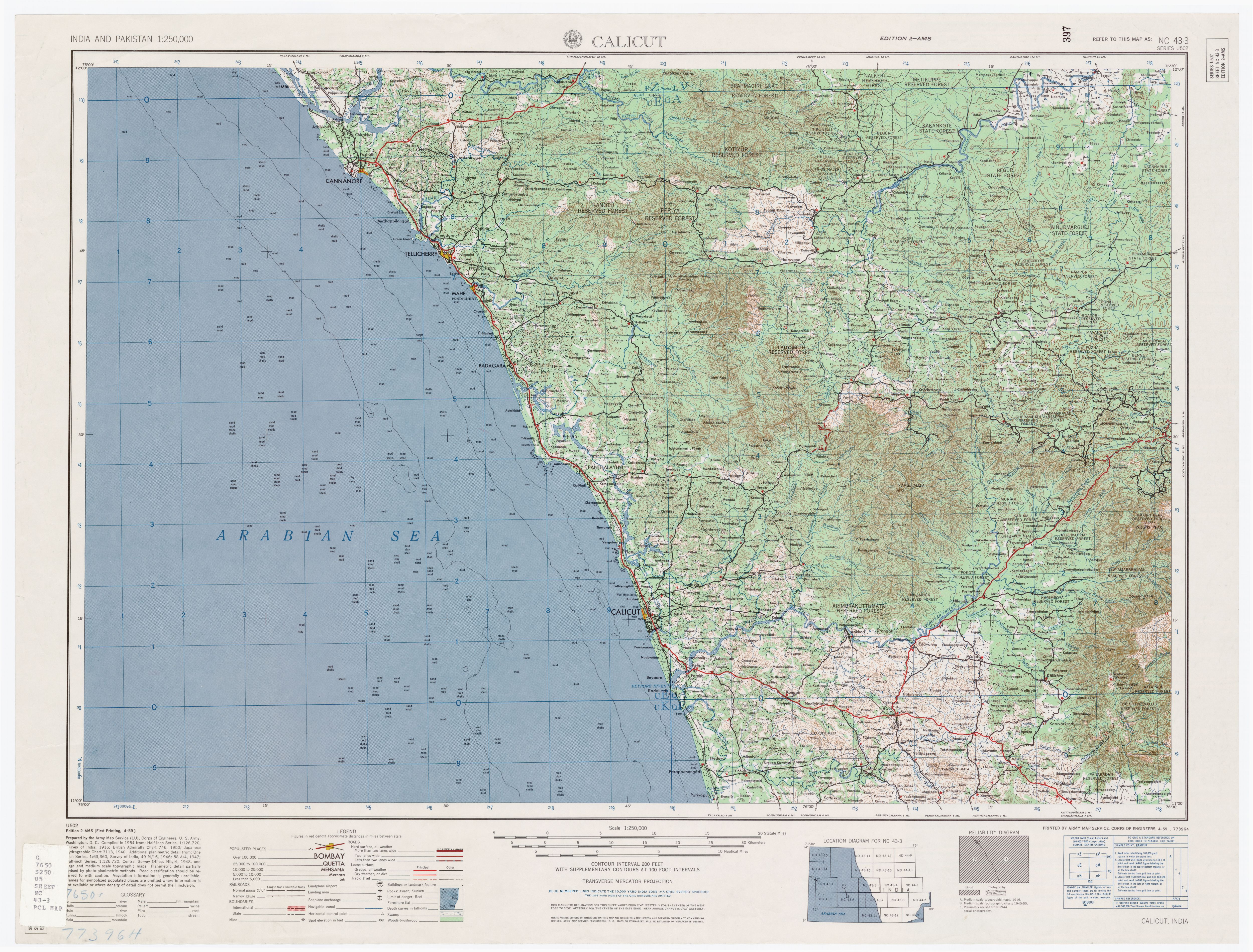
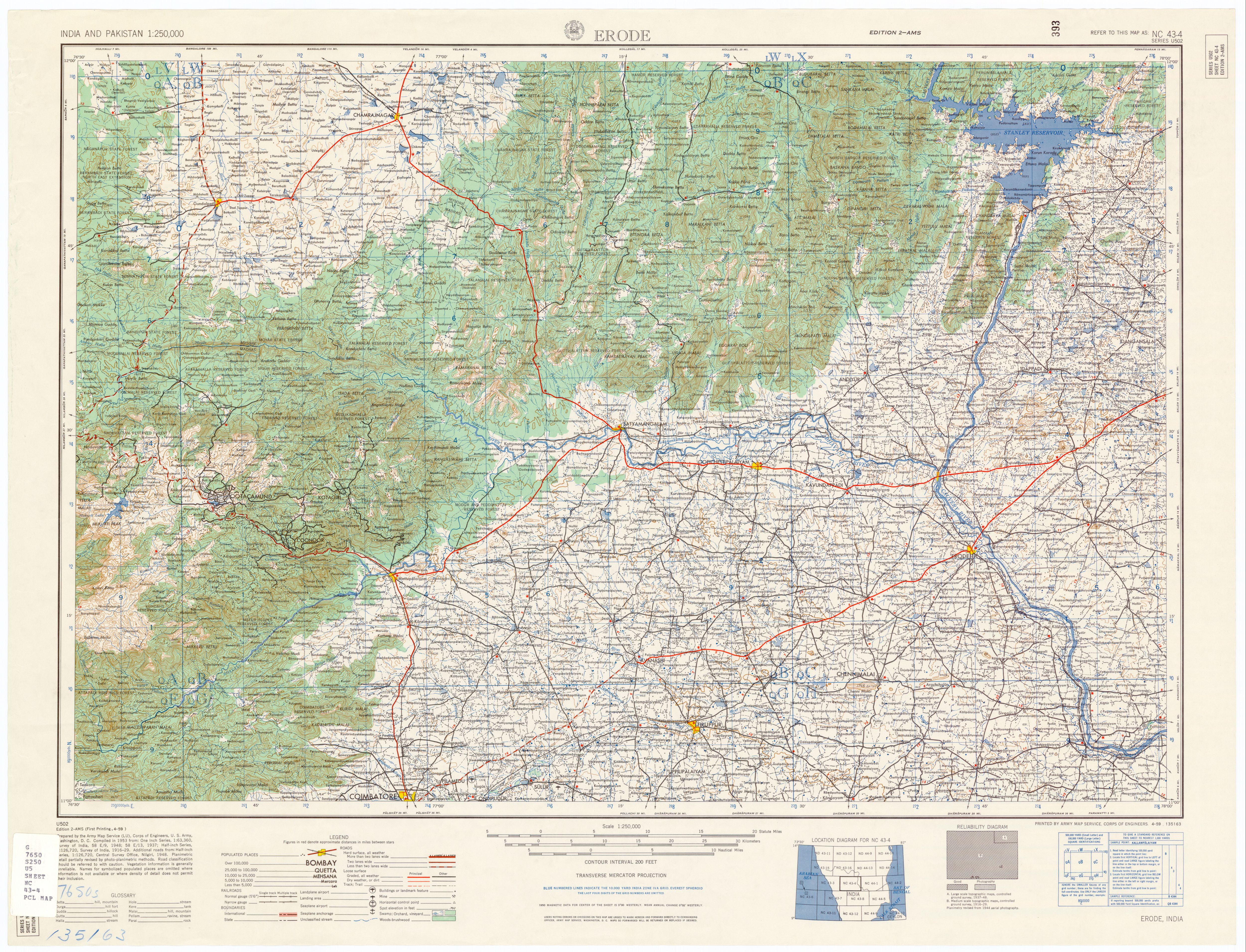
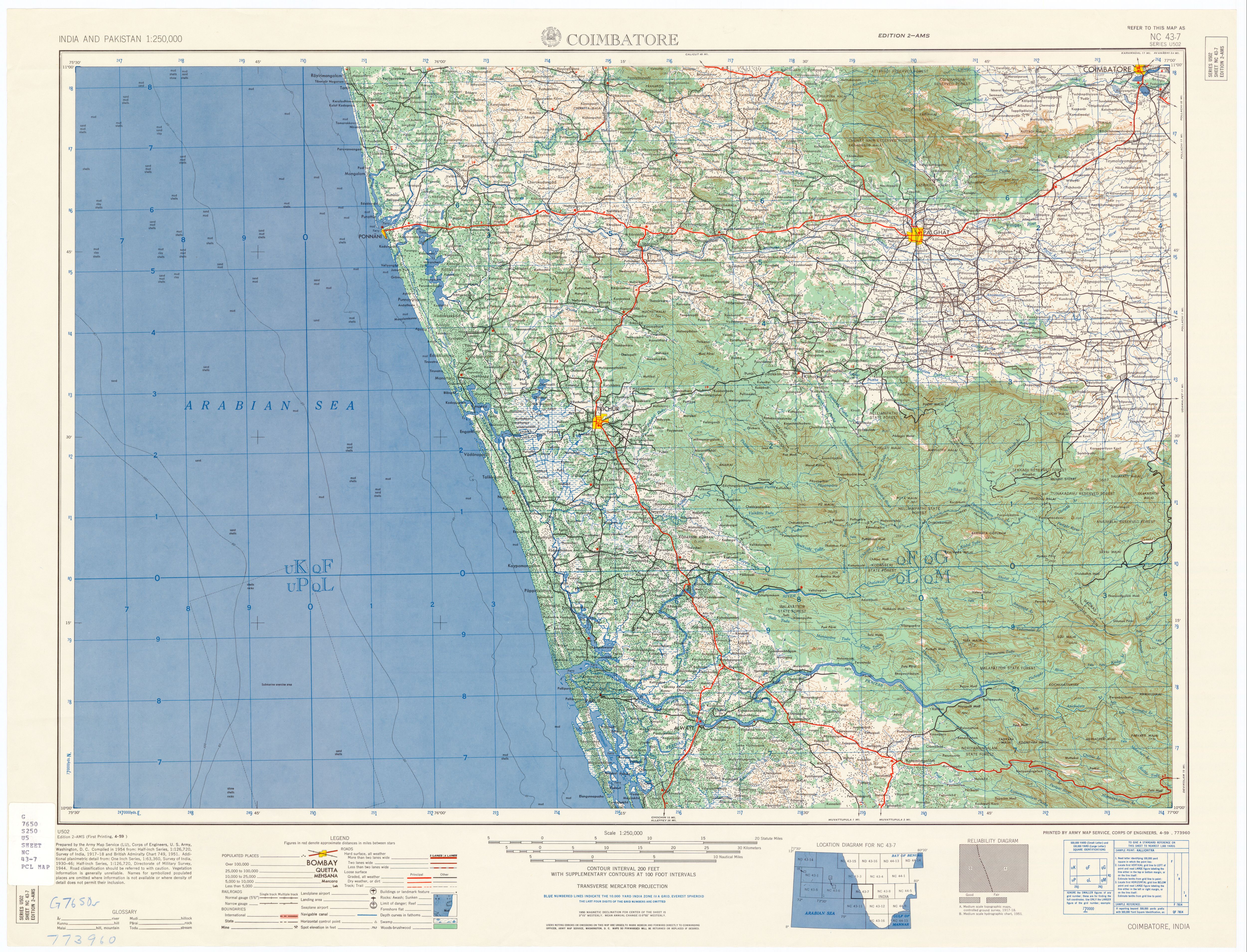
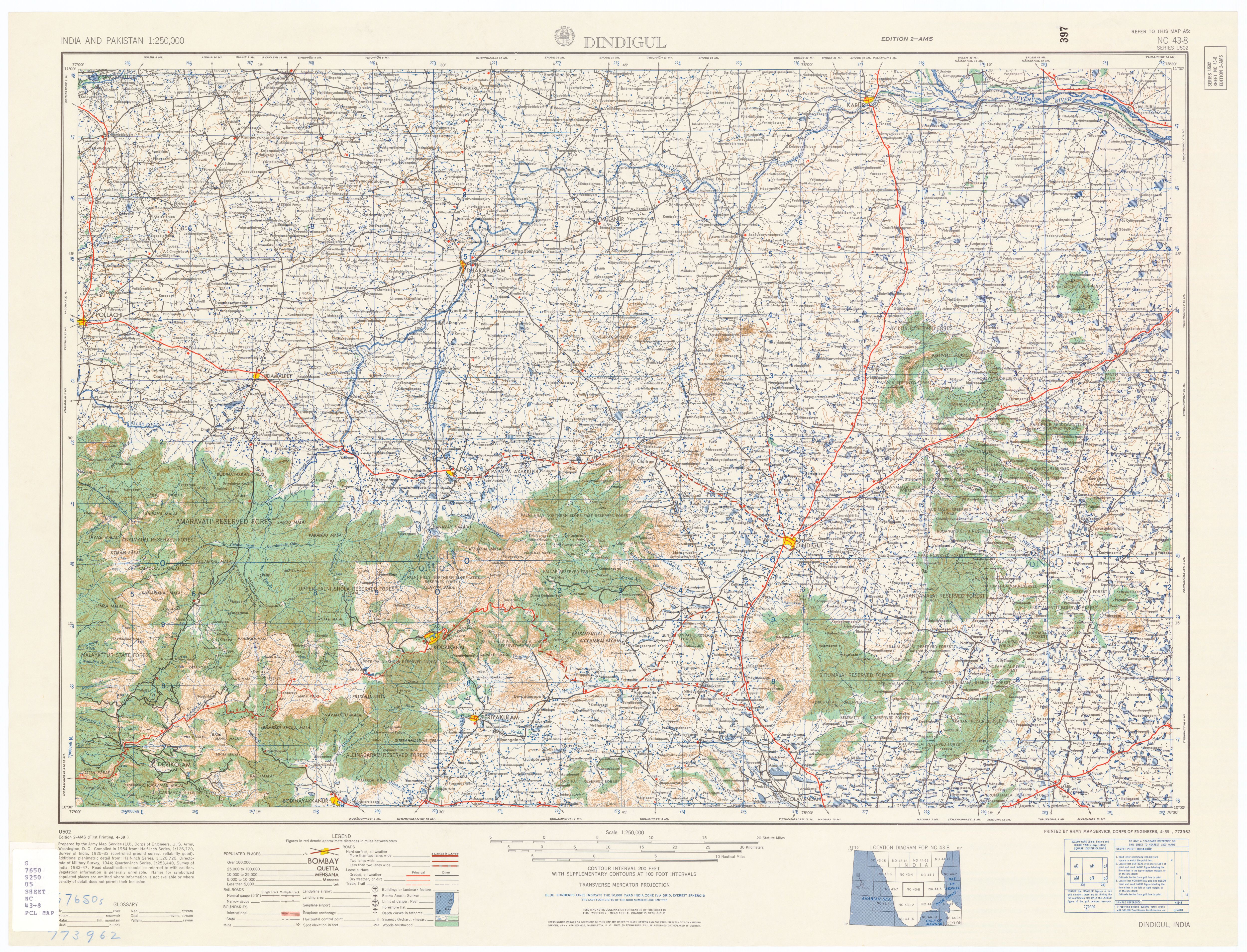
Index Map-2,50000 Scale US Military Topo sheet of Indian Subcontinent
|
Wednesday, 11 December 2019
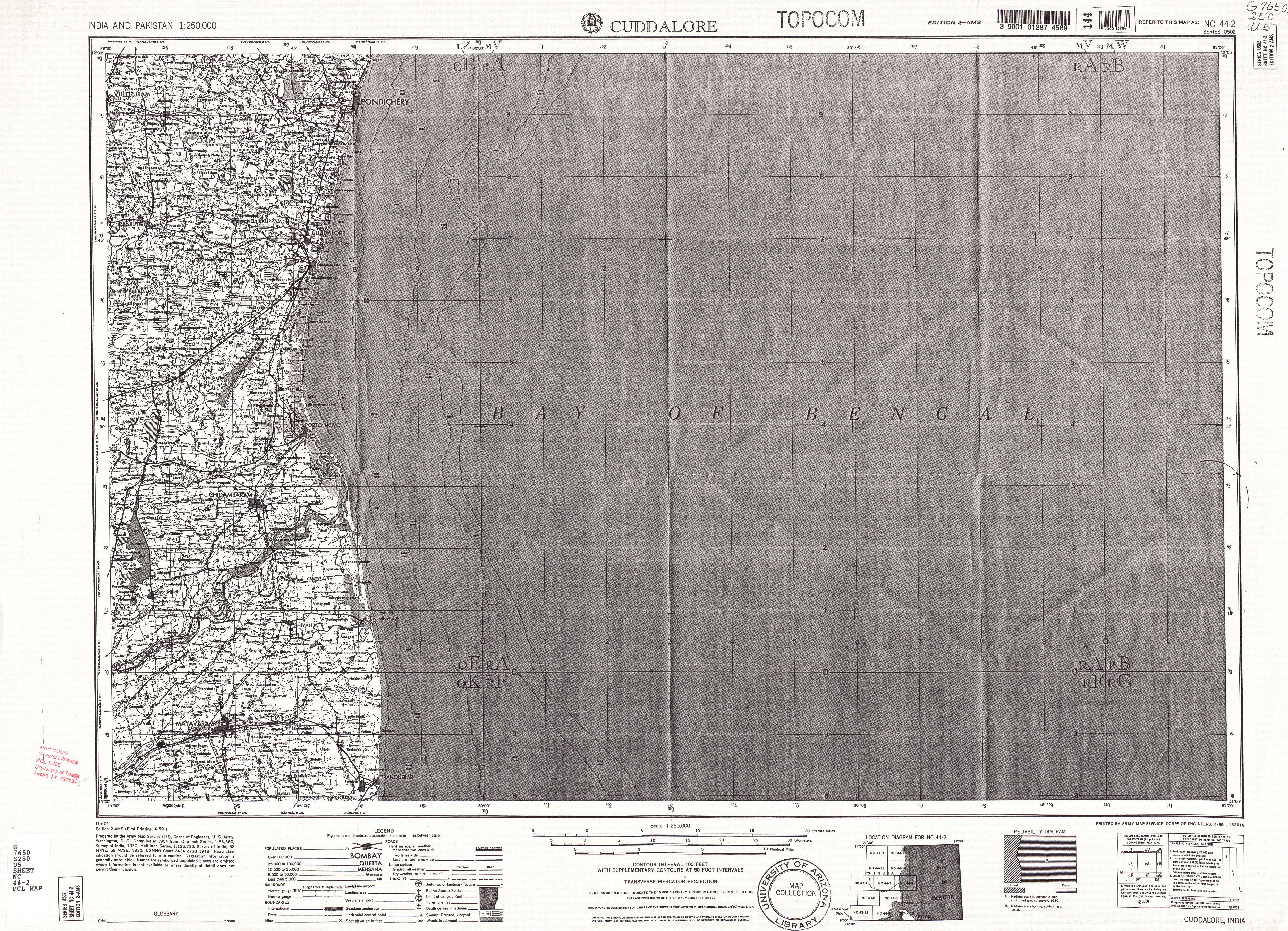
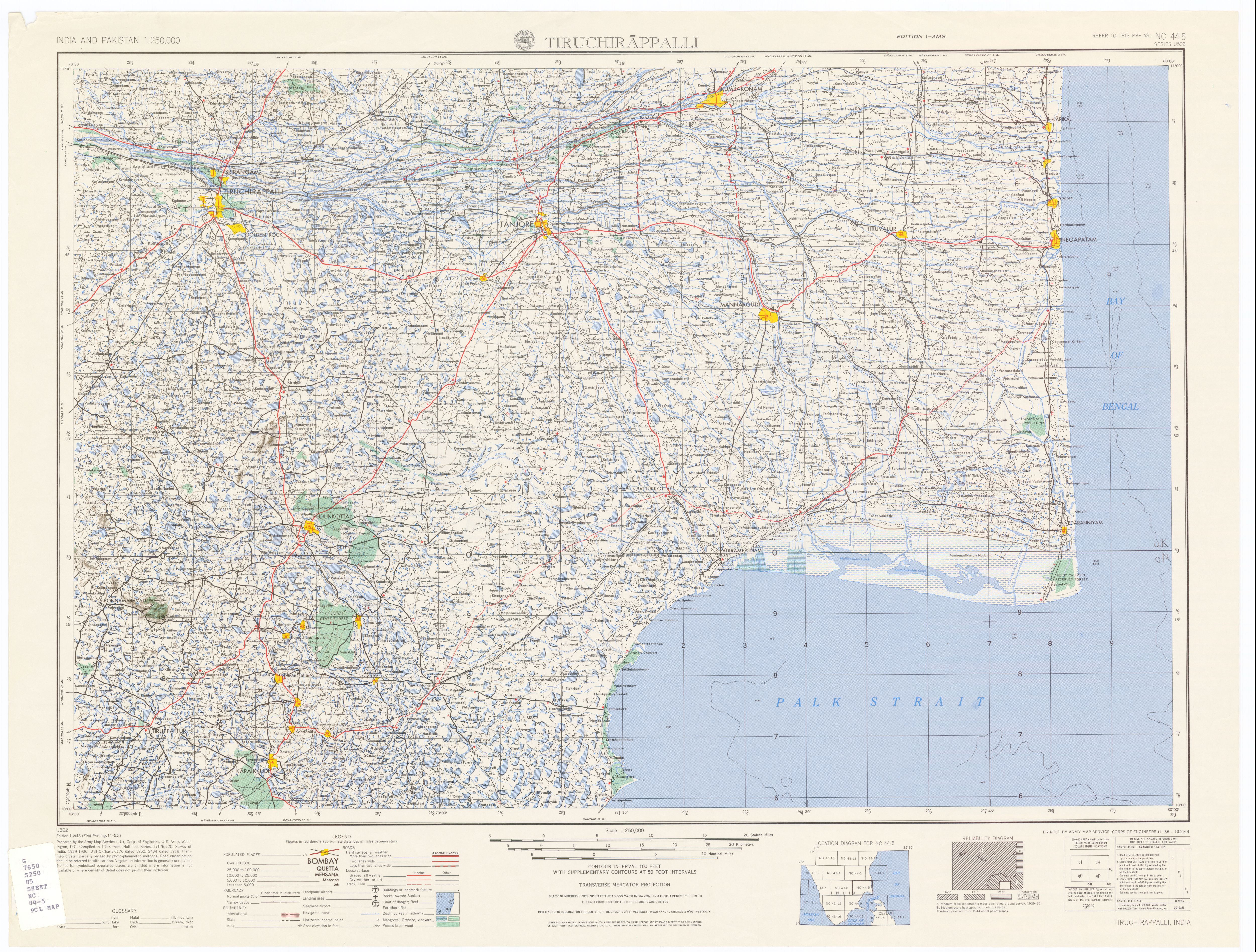
250000 Scale US Military Topo sheet of Indian Subcontinent

Thursday, 28 November 2019
Groundwater Hydrology Engineering, Planning and Management

Preface: The demand for freshwater is increasing as the world’s population continues to grow and expects higher standards of living.
Monday, 4 November 2019
Data Mining Concepts and Techniques Third Edition

Preface
The computerization of our society has substantially enhanced our capabilities for both generating and collecting data from diverse sources. A tremendous amount of data has flooded almost every aspect of our lives. This explosive growth in stored or transient data has generated an urgent need for new techniques and automated tools that can intelligently assist us in transforming the vast amounts of data into useful information and knowledge.
This has led to the generation of a promising and flourishing frontier in computer science called data mining, and its various applications. Data mining, also popularly referred to as knowledge discovery from data (KDD), is the automated or convenient extraction of patterns representing knowledge implicitly stored or captured in large databases, data warehouses, the Web, other massive information repositories, or data streams.
Subscribe to:
Posts (Atom)
Subscribe


![NC 43-7 Coimbatore and Vicinity [verso]](http://legacy.lib.utexas.edu/maps/ams/india/nc-43-07b.jpg)
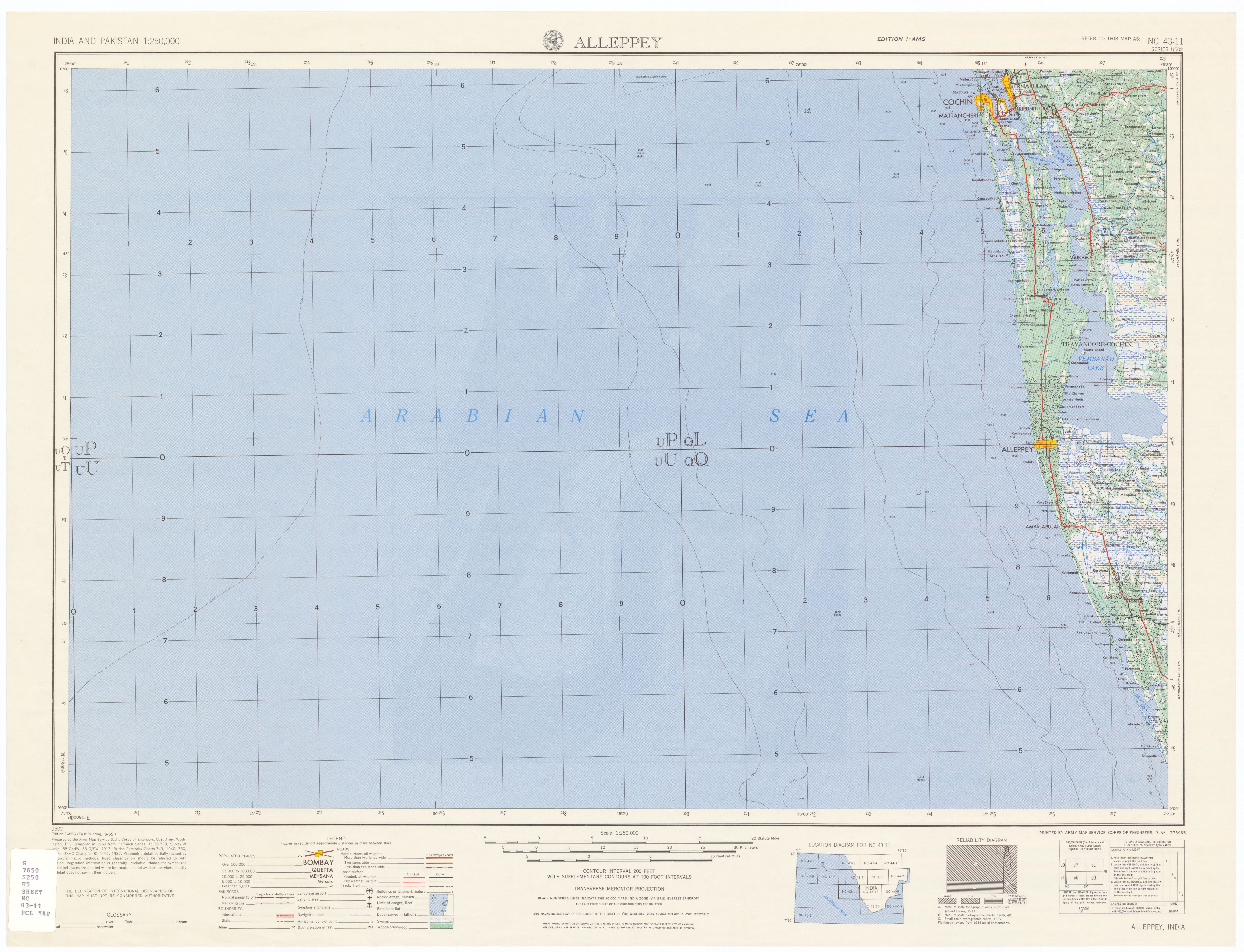
![NC 43-11 Cochin, Ernakulam and Vicinity [verso]](http://legacy.lib.utexas.edu/maps/ams/india/nc-43-11b.jpg)
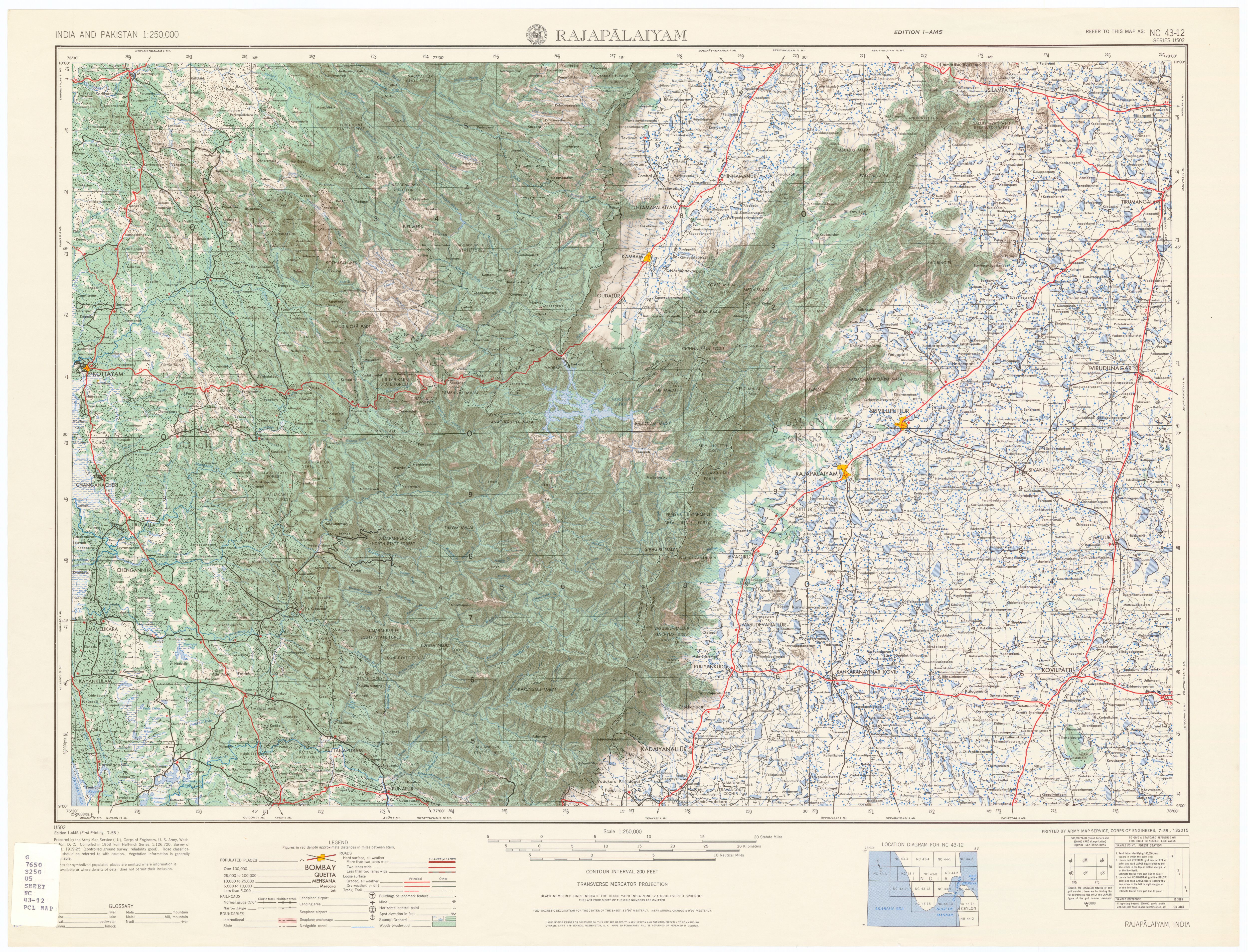
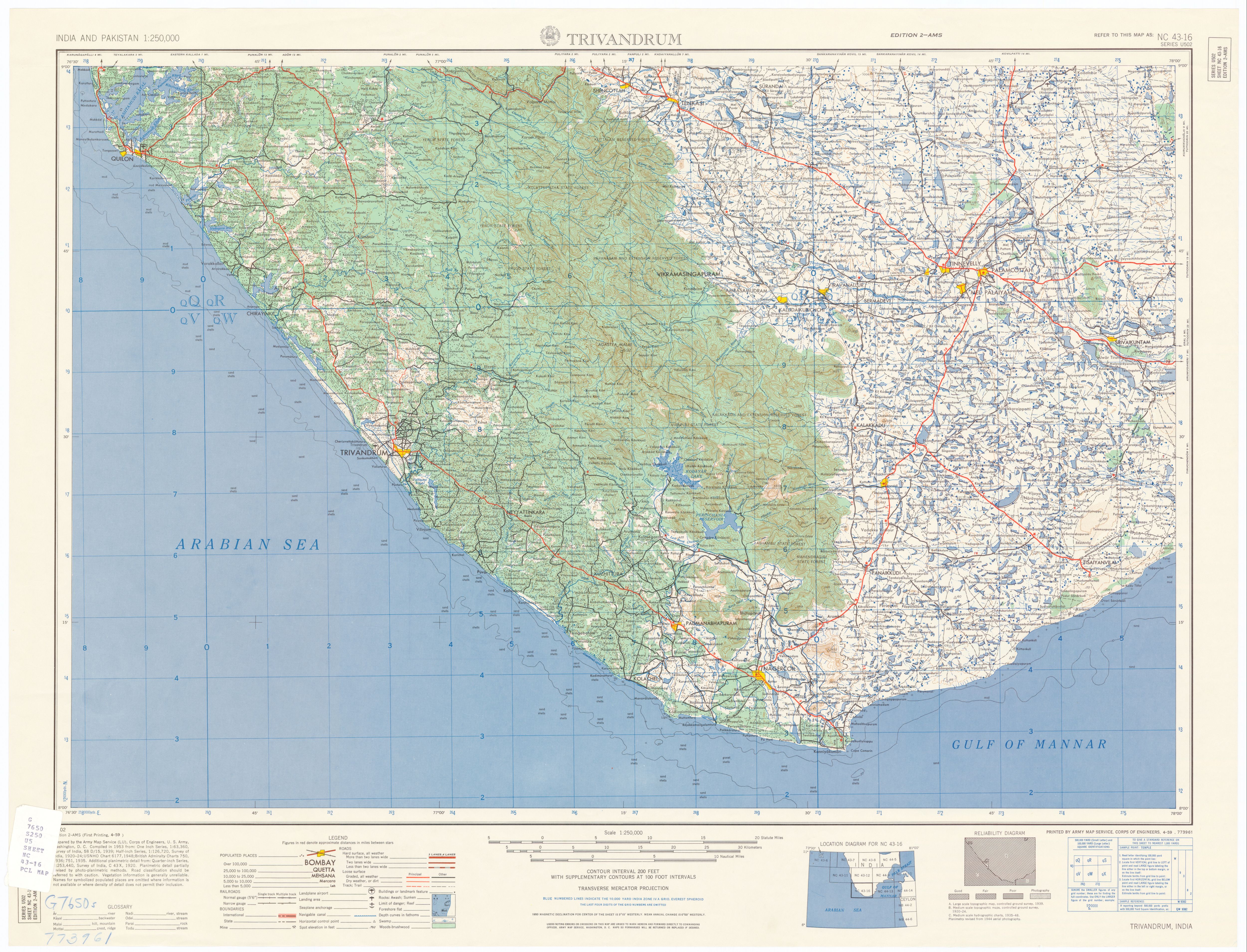
![NC 43-16 Trivandrum and Vicinity [verso]](http://legacy.lib.utexas.edu/maps/ams/india/nc-43-16b.jpg)
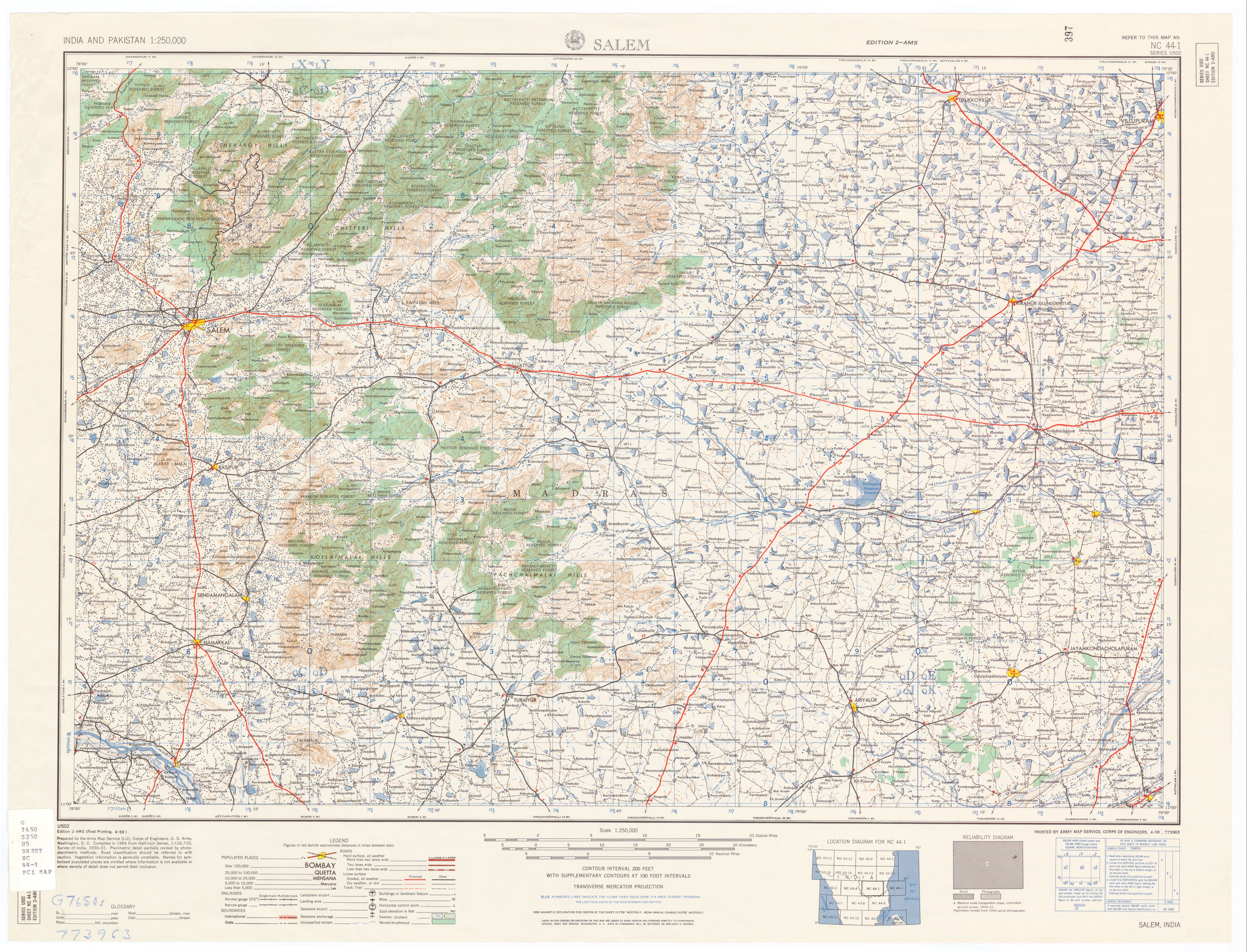
![NC 44-5 Tiruchirappalli and Vicinity; Tanjore and Vicinity [verso]](http://legacy.lib.utexas.edu/maps/ams/india/nc-44-05b.jpg)

 Posts
All Comments
Posts
All Comments