Open PDF and Software Resources of Earth-sciences, Remote Sensing and Geographic Information System.
Wednesday, 8 May 2019
Multi temporal Remote Sensing Methods and Applications
Contents
1 Multitemporal Remote Sensing: Current Status, Trends and Challenges . . . . . . . . . . . . . . . 1
Yifang Ban
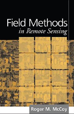
Field Methods in Remote Sensing
Preface
Practitioners of remote sensing will at some point need to learn how to obtain field data suitable for the various needs of their projects. Effective field data are best obtained through thoughtful planning, thorough knowledge of valid sampling techniques, accurate location-finding procedures, and reliable field measurements. Unfortunately for the beginner, few remote sensing research reports provide thorough accounts of the methods that were followed in the field. Instead, they concentrate on laboratory procedures such as data correction and processing.
Monday, 6 May 2019
Remote Sensing of Land Use and Land Cover-Principles and Applications
Contents
Series Preface....................................................................................................................................ix
Preface..............................................................................................................................................xi
Acknowledgments.......................................................................................................................... xiii
Editor...............................................................................................................................................xv
Contributors...................................................................................................................................xvii
Subscribe to:
Posts (Atom)
Labels of Contents
Applied Geomorphology
(3)
Article
(12)
Atmosphere
(1)
Book
(124)
Cartography
(2)
Civil Engineering
(1)
Data Analysis
(1)
Data Mining
(2)
Dictionary of Earth Science
(1)
Disaster Management Book
(5)
Engineering Geology
(8)
Environment
(7)
Folds
(1)
GIS
(75)
GRASS GIS
(3)
Geoinformatics
(1)
Geology
(31)
Geomorphology
(3)
Global Mapper 19
(1)
Global Mapper 20
(1)
Golden Software Surfer 13. Video
(1)
Ground Water Geology
(3)
Hydrology
(17)
Image Interpretation
(9)
Landslide
(3)
MATLAB
(2)
MODFLOW
(1)
Machine Learning
(1)
Mapping
(10)
Microsoft Excel Tutorial
(1)
Mineralogy
(2)
Modeling
(8)
PCI GEOMATICA 2016
(1)
PDF eBook
(31)
Petrology
(2)
Processing
(4)
QGIS Training
(15)
R
(1)
Remote sensing
(64)
Research Methodology
(1)
Rockwork 16
(2)
SAGA GIS
(1)
SAS Planet
(1)
Sedimentology
(3)
Soil
(6)
Song
(1)
Starter 5
(1)
Suitability Analysis using Model Builder ArcGIS 10
(1)
Technical Report
(3)
Training Manual
(20)
Tutorial
(21)
Video
(13)
Water Resources
(14)
arcgis for local government
(1)
arcgis online web app
(1)
coastal Geology
(1)
esri arcmap
(1)
esri business analyst
(1)
esri data
(1)
esri earth
(1)
esri local government
(1)
esri platform
(1)
esri software
(1)
esri tools
(1)
ezri gis
(1)
geonet esri
(1)
maximo gis
(1)
pdf
(140)
software
(12)
structural Geology
(7)
web GIS
(2)