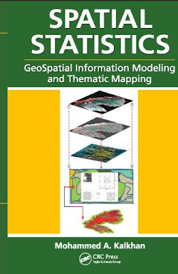
The focus of the book remains straightforward linear geostatistics based on least-squares estimation. The theory and techniques have been around in mineral exploration and petroleum engineering for some four decades.
Open PDF and Software Resources of Earth-sciences, Remote Sensing and Geographic Information System.
Tuesday, 30 April 2019
SPATIAL STATISTICS GeoSpatial Information Modeling and Thematic Mapping
There is a need for such a book that can be used by people of different backgrounds and without advanced knowledge of geospatial information sciences such as remote sensing and geographic information systems (GIS), and of quantitative methods including biometry, statistics, sampling methods and design, and geostatistics.
Saturday, 27 April 2019
Geographical Information Systems in Assessing Natural Hazards
PREFACE
Natural catastrophes, such as earthquakes, hurricanes, flash floods, volcanic eruptions, and landslides, have always constituted a major problem in many developing and developed countries. In recent years, the growth of population and the diffusion of settlements over hazardous areas have sharpened the impact of natural disasters worldwide. The United Nations in declaring the decade 1990-2000 as the International Decade
for Natural Disasters Reduction (IDNDR) has provided a unique opportunity for institutions and individuals to critically evaluate current methods for predicting natural catastrophes and mitigating their impact; and to investigate the potential of new technological advancements for improving hazard evaluation and risk reduction.
for Natural Disasters Reduction (IDNDR) has provided a unique opportunity for institutions and individuals to critically evaluate current methods for predicting natural catastrophes and mitigating their impact; and to investigate the potential of new technological advancements for improving hazard evaluation and risk reduction.
Subscribe to:
Posts (Atom)
Labels of Contents
Applied Geomorphology
(3)
Article
(12)
Atmosphere
(1)
Book
(124)
Cartography
(2)
Civil Engineering
(1)
Data Analysis
(1)
Data Mining
(2)
Dictionary of Earth Science
(1)
Disaster Management Book
(5)
Engineering Geology
(8)
Environment
(7)
Folds
(1)
GIS
(75)
GRASS GIS
(3)
Geoinformatics
(1)
Geology
(31)
Geomorphology
(3)
Global Mapper 19
(1)
Global Mapper 20
(1)
Golden Software Surfer 13. Video
(1)
Ground Water Geology
(3)
Hydrology
(17)
Image Interpretation
(9)
Landslide
(3)
MATLAB
(2)
MODFLOW
(1)
Machine Learning
(1)
Mapping
(10)
Microsoft Excel Tutorial
(1)
Mineralogy
(2)
Modeling
(8)
PCI GEOMATICA 2016
(1)
PDF eBook
(31)
Petrology
(2)
Processing
(4)
QGIS Training
(15)
R
(1)
Remote sensing
(64)
Research Methodology
(1)
Rockwork 16
(2)
SAGA GIS
(1)
SAS Planet
(1)
Sedimentology
(3)
Soil
(6)
Song
(1)
Starter 5
(1)
Suitability Analysis using Model Builder ArcGIS 10
(1)
Technical Report
(3)
Training Manual
(20)
Tutorial
(21)
Video
(13)
Water Resources
(14)
arcgis for local government
(1)
arcgis online web app
(1)
coastal Geology
(1)
esri arcmap
(1)
esri business analyst
(1)
esri data
(1)
esri earth
(1)
esri local government
(1)
esri platform
(1)
esri software
(1)
esri tools
(1)
ezri gis
(1)
geonet esri
(1)
maximo gis
(1)
pdf
(140)
software
(12)
structural Geology
(7)
web GIS
(2)


